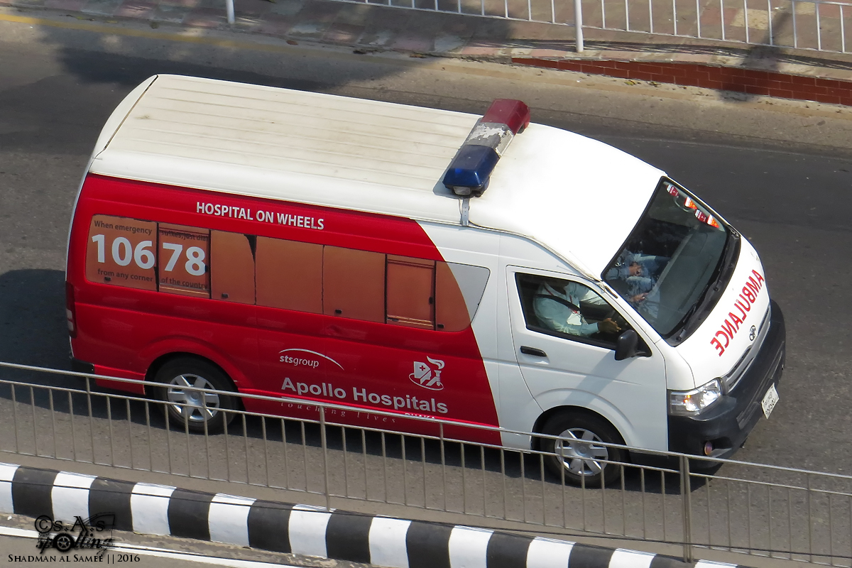
Rapid response routing, ambulance tracking, and driver behaviour monitoring for emergency fleets.
Key Terms:
Telematics:
Technology that monitors vehicles via GPS, cellular networks, and digital sensors for real-time location and operational data.
GPS tracking:
Real-time location monitoring of ambulances and emergency vehicles using satellite and cellular networks for instantaneous fleet visibility.
CAD (Computer-Aided Dispatch):
Mission-control software that assigns the closest emergency vehicle to an incident and streams turn-by-turn routing telemetry.
When every second counts, emergency services need the best possible visibility and control. Ambulances, fire tenders, and disaster response vehicles must reach the scene quickly and safely. ADL Moto provides GPS tracking and telematics solutions designed specifically for emergency fleets: real-time location for CAD dispatch, dynamic route optimization for fastest response, and driver behaviour monitoring to ensure safe, mission-critical operations.
Dispatchers see all vehicles on a single real-time map and can assign the nearest available unit with zero manual delays. Live ETAs help hospitals and trauma first responders prepare receiving bays. Overspeeding and harsh braking alerts protect both drivers and patients—because an ambulance accident helps no one. Incident recording with dual-lens AI dashcams provides indisputable video evidence for training and dispute resolution.
We serve municipal emergency fleets, private ambulance operators, hospital EMS networks, and disaster management agencies across all 64 districts of Bangladesh with 24/7 priority support.