











How vehicle tracking works in Bangladesh
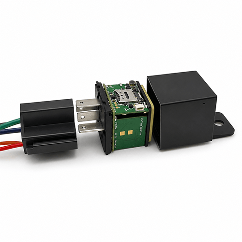
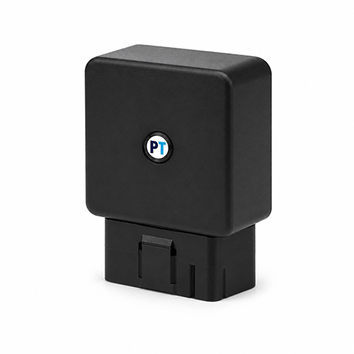
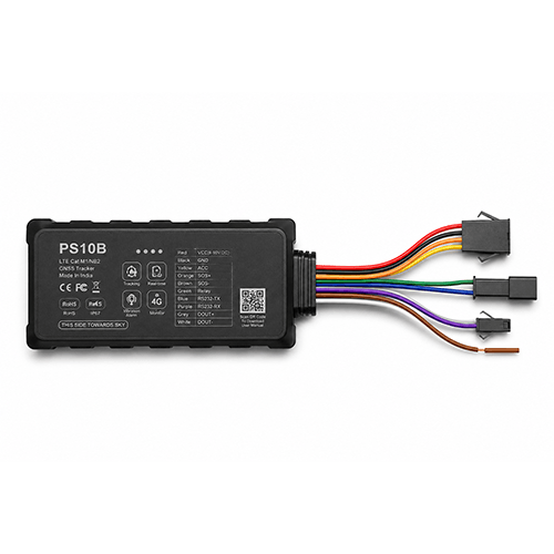
Commercial vehicle tracking in Bangladesh operates on 4G LTE cellular backhaul with multi-GNSS positioning (GPS, BDS, GLONASS). Devices capture latitude, longitude, speed, heading, and ignition context, transmitting packets to the cloud every 2–10 seconds during motion.
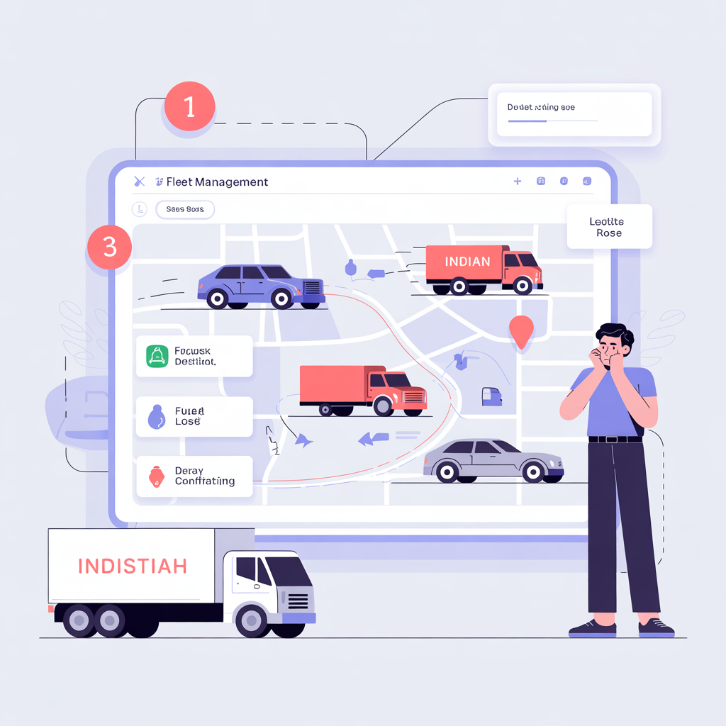
For operations teams, the practical outcome is a single event stream: live map, route playback, geofence entry/exit, overspeed, idle, and SOS alerts that dispatch, security, and customer service can reference without calling the driver for every update.